 |
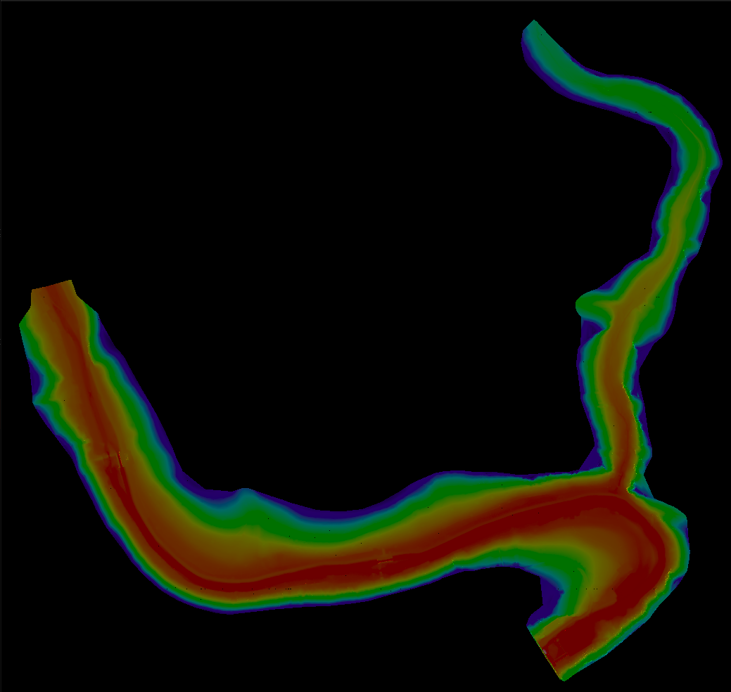
Terrain Rasterizer
Conversion of GPS data into 2.5D topographic maps
|
|
Terrain Rasterizer
Conversion of GPS data into 2.5D topographic maps
|
Implementation of data loading and coordinate conversion. More...
#include "MNT.hpp"#include <cstdio>#include <iostream>#include <proj.h>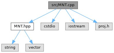
Functions | |
| std::vector< Point > | lireEtConvertir (const std::string &nomFichier) |
| Reads terrain data from a file and converts coordinates. | |
Implementation of data loading and coordinate conversion.
| std::vector< Point > lireEtConvertir | ( | const std::string & | nomFichier | ) |
Reads terrain data from a file and converts coordinates.
This function reads a text file containing geographic coordinates (latitude, longitude, altitude) and converts them to a projected coordinate system (Lambert93) using the PROJ library.
| nomFichier | The path to the input data file. |