 |
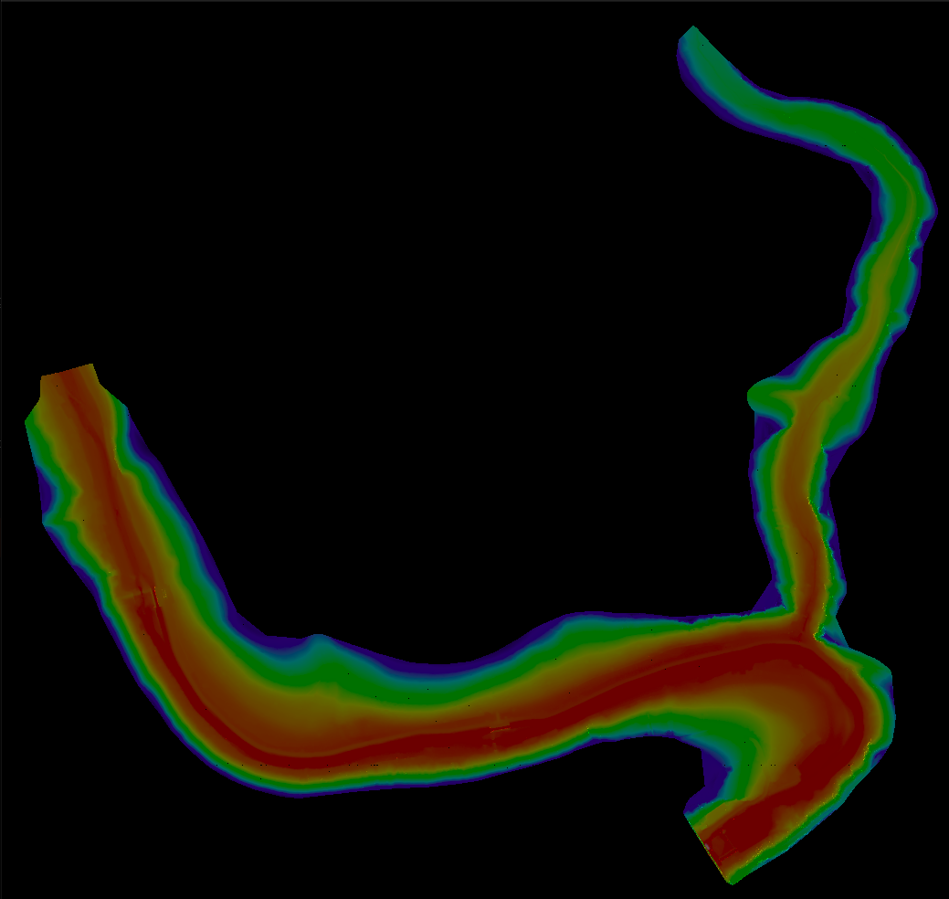
Terrain Rasterizer
Conversion of GPS data into 2.5D topographic maps
|
|
Terrain Rasterizer
Conversion of GPS data into 2.5D topographic maps
|
Represents a point in 3D space. More...
#include <MNT.hpp>
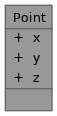
Public Attributes | |
| double | x |
| double | y |
| double | z |
Represents a point in 3D space.
| double Point::x |
X coordinate (e.g., longitude or projected X).
| double Point::y |
Y coordinate (e.g., latitude or projected Y).
| double Point::z |
Z coordinate (e.g., altitude).