 |
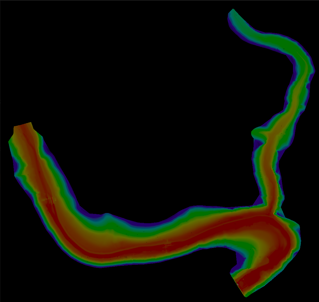
Terrain Rasterizer
Conversion of GPS data into 2.5D topographic maps
|
|
Terrain Rasterizer
Conversion of GPS data into 2.5D topographic maps
|
Files | |
| main.cpp | |
| Main entry point for the terrain rasterizer application. | |
| MNT.cpp | |
| Implementation of data loading and coordinate conversion. | |
| quadtree.cpp | |
| Implementation of the QuadTree for spatial indexing. | |
| rasterizer.cpp | |
| Implementation of the rasterization process (coloring, shading, and image generation). | |
| triangulation.cpp | |
| Implementation of Delaunay triangulation using delaunator-cpp. | |